January 9: We hiked right out of the campground to Marble Falls. The trail wasn't particularly steep, but it climbed very steadily for more than 3 miles. The trail was above the river; we could hear it but not see it for most of the way. There was a fair amount of shade. In the summer, this trail would be terribly hot. Along the trail, we passed through a small grove of California nutmeg, which looks like a fir tree with very sharp needles. The nutmegs are fragrant -- but I am not sure they are edible. It took us more than an hour and a half to get to the top of the lower falls:

Because the water level in the river was so low due to the drought, we were able to clamber through the boulder field toward the upper falls -- this picture makes it look more difficult than it was. The white stuff on the rocks is not snow -- it is calcite deposited on the boulders:

Near the upper falls, we climbed into a deep overhang carved out of the marble and calcite strata – the marble was much more resistant than the calcite or limestone, creating a "curtain" effect:


The sheets of calcite, which look like sun-dappled snow but have a texture like sandpaper, extended into the “plunge pond” below the upper falls:


This shot of the falls isn’t particularly dramatic because the water is so low, but we took it for the sake of comparison. We are hoping someday to get back to this spot in higher water:

(Warning: you are about to encounter several paragraphs of amateurish geological speculation. You might want to skip ahead if rocks don’t excite you. But if you like solving puzzles, read on.)
As you can see in the preceding photos (especially of the cave-like overhang), we noticed that all of the strata were tilted 90° from the horizontal. We were puzzled by this anomaly – in the very highest part of the Sierra, the remnant metamorphic layers (sometimes called the “roof rock”) are essentially horizontal. By contrast, why were the layers vertically oriented throughout the canyon at this much lower elevation, and why didn't this particular area of metamorphic rock get lifted up by the rising "plutons" (the huge hot bubbles of basalt) that created the mountain range? And where had the marble come from, anyway?
It took us a while to figure it out by working backwards, but this is our best guess: in the beginning, ordinary sedimentary rock formed in a shallow ocean, essentially where the San Joaquin Valley is now. We figured that it had to be shallow water, for several different reasons. First, we could see that the metamorphic rock (i.e., the compressed sedimentary rock) contained a lot of river cobble inclusions, which must have come out of creeks and rivers. Those cobbles would have settled in shallow water. Second, the fact that the rock was originally limestone meant that it must have been formed by the calcium-laden shells of tiny marine animals, such as diatoms. Those creatures usually grow in shallow, sunny water.
Anyway, after the sedimentary layers were established, sheer heat and pressure (due to the weight of the overlying rock) would have created the marble from the limestone and the sandstone. We could tell that the marble had not been deformed – the layers were fairly evenly parallel, rather than wavy.
Next, the horizontal layers of marble were pushed up sideways by the rising basalt of the Sierra. Although the marble at the higher elevations was pushed straight up from below, this marble (which was on the western side of the upwelling that created the mountain range) remained essentially in place but was reoriented and rotated by the upthrust. I don’t know if that’s right, but it sounded plausible to us.
(End of geology sermon.)
January 10:
We decided to see whether we could do some hiking back in the Mineral King area, which is ordinarily unreachable during the winter. The Ranger provided us with the combination to a lock securing the gate across the road at the border to the national park. The road is as difficult as everyone says it is: very twisty and slow and narrow. Not surprisingly, however, since the road was closed, we did not see one other car (or any other people) for the entire day.
After more than an hour of driving, we we came to another locked gate about 2 miles away from the trailhead in the Atwell Grove Campground, so we had to hike to the trailhead on the roadway (which wasn’t unpleasant at all). The first part of the trail descended gently to the bridge across the river. The trail was dry, but it got very icy near the bridge; we eventually had to slip on our micro-spikes. There were young sequoias growing along the creek:


It was fun (and maybe a little spooky) to have the entire forest completely to ourselves -- I am fairly sure that there was absolutely no one within 20 miles of us in any direction. We hiked through the southern portion of the Atwell Grove, stopping for the obligatory "huge tree and small person" shots whenever we could get a long shot of an entire sequoia (which is very seldom). Felice is in the patch of sunlight at the base of the tree:

All told, including the walk along the roadway, we hiked for about 9 miles, with probably a thousand feet of elevation gain. Not a big deal, but pleasantly tiring. And having our own private forest gave us a spurious sense of adventure.
January 11:
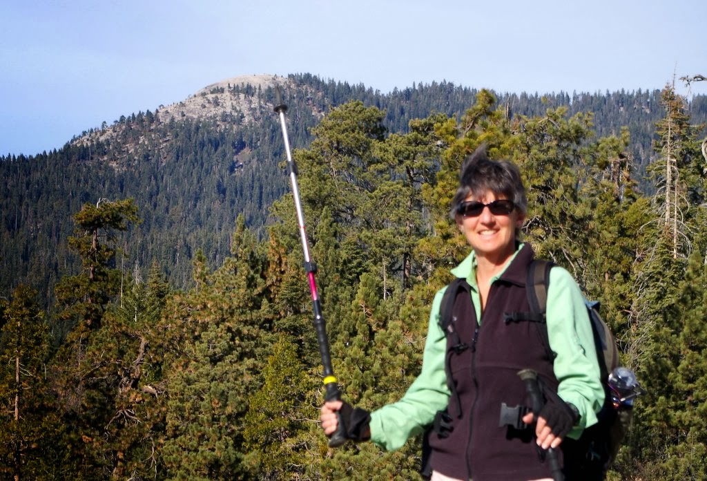
We headed up to the Giant Forest area and first took a short hike to Sunset Rock, a granite dome. We could see an old friend, Little Baldy, off to the West – the tip of Felice's pole is pointing right at it:
The next time we hike up to the top of Little Baldy, we will try to locate Sunset Rock off to the southeast. Sunset Rock would be great for snowshoeing, if only there were some snow. On our way back to Giant Forest, we cut over to the Beetle Rock trail, which would also be great for snowshoeing. After lunch, we drove over to the Congress Grove area – this is the McKinley Tree, with Felice at the base:

This is a particularly impressive root ball, especially when you consider that this is just the top half of the root ball -- note the trees growing out of the top:

Along the trail, we found two trees growing closely together, which Felice always loves:

Late that evening, the moonlight was very bright. This is something of a trick shot – at first glance, it looks like noon, but it's not, as you can see from the stars over the mountains. The trick is a long exposure at a high ISO rating:

10 comments:
Thanks Dan1 I love Mineral King! Silver City, up in Mineral King is a great place to get a hot meal and buy a shower, when it's open. Can't remember when it opens but I think it closes Columbus Day.You guys continue to be my inspiration!
So cool. I love that last shot. I have cabin fever here in New England, so good for you guys!
Very cool. Great photos of your adventure.
We enjoyed the geo-sleuthing and everything else. Thanks for the ride along!
Dan & Felice, you continue to be our
idols- hiking and blogging wise!
Thanks for sharing. For a few minutes I imagined we were there and that was very neat.
Peace, Love & happy camping!
Dan & Rita, in cold often gloomy Kentucky
Hi Dan...I am looking into buying a 2008 fun finder, one model bigger than yours, was wondering if you flipped the axle to get that extra clearance or if yours came stock like that? So far I have only seen pictures of the one I am interested in and it doesn't seem as high. I am hoping to do a lot of more off road type camping and wondering if I need to modify. Any thoughts?
Thanks
Tim -- yes, the axle is flipped, and we have made a number of other modifications for gentle off-roading. (It's really not off-road -- these are rocky national forest roads with deep potholes and big rocks.) We take it very slowly, but we can get into some very isolated places. If you are interested in more info about the trailer, check out my other blog at http://lookmomimcamping.blogspot.com/ -- I don't know how to post a link in a comment, so you will just have to copy and paste. Sorry for the inconvenience!
Dan, you are an incredible photographer, and remodeler. I wish I had a quarter of your talent!
Post a Comment