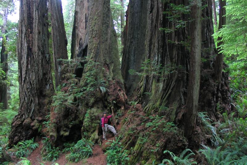
We started out in Northern California. Although the coastal redwoods are not as massive as the Sierra Sequoias on an individual basis, they are much more numerous, and they grow in lush surroundings. They tend to cluster in family groupings -- this is on the James Irvine trail in Prairie Creek:
This is the same shot, edited much later in Lightroom:

Some of the state parks (and national forests) permit mountain biking on selected trails through the redwoods and along the rivers. These are "singletrack" trails, which tend to be challenging -- full of roots and rocks. But it was a pleasure to be able to ride through the deep forest on narrow paths cushioned with bark chips and leaves:

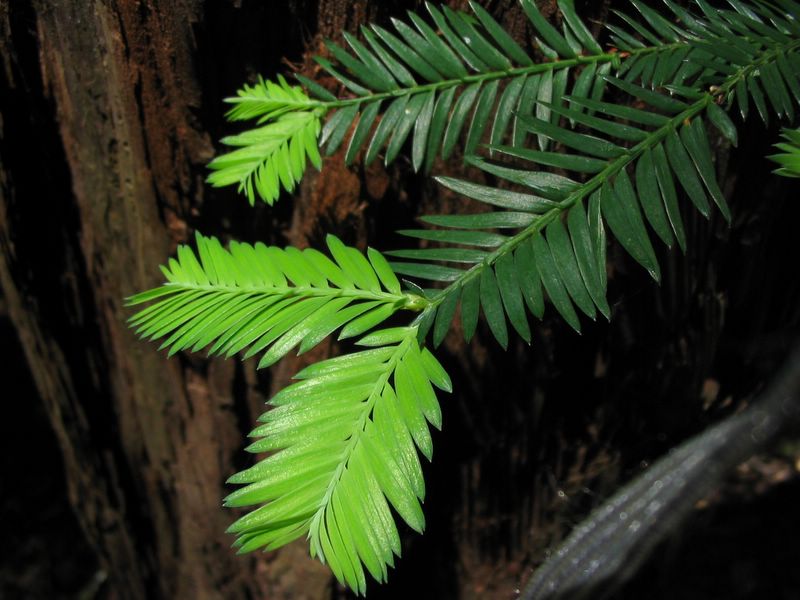
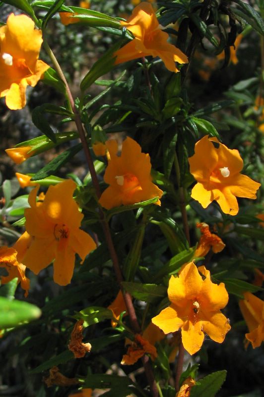
We spent a lot of time taking pictures of wildflowers. (In fact, we have about 800 pictures; be glad we aren't posting more than just a fraction of them.) Here is a small sample:

Columbia Lily
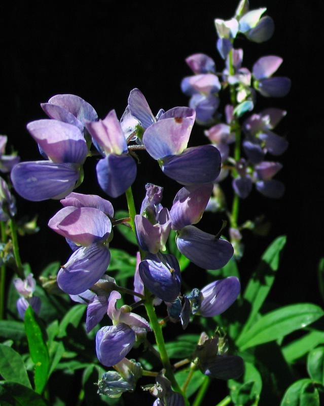
Lupine

Some tall pink flower - fireweed, I think.
On our honeymoon in 1978, we spent some time at Clear Lake, east of Eugene, Oregon, and we were happy to discover that the lake is still as blue as it was back then:
Clear Lake
After riding and hiking in central Oregon, we went north to the Columbia Gorge. There are probably 20 or more major waterfalls in the Gorge, and we hiked to virtually all of them. Again, it would be redundant to post pictures of all of them; here is a representative sample:

This is the same shot, edited much later in Lightroom, which enabled me to correct the white balance:

I could not resist including more waterfall shots -- the falls are everywhere throughout the Gorge, and Felice just could not get enough of them, especially because the weather was hot and the falls cooled the air:


We hiked to Tunnel Falls on a hot day (a 14 mile hike!). There is a tunnel immediately behind the thundering waterfall:

This is the same shot, edited much later in Lightroom:


There were other falls with trails behind the water -- Felice is right in the middle of the shot, between the two halves of the falls:


We next stayed at Mt. Hood, an 11,000 foot volcano not too far south of the Gorge:
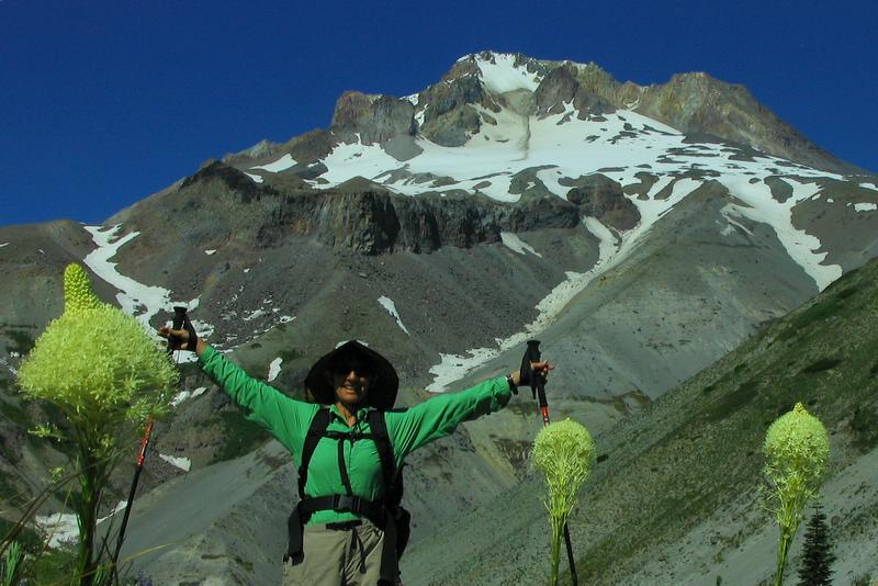
Mt. Hood and Bear Grass
The wildflowers (mostly lupine and Indian paintbrush) were just getting started on the mountain, since the snow had recently melted:

Lupine on Mt. Hood


