It was aspen season, the end of September, but the Eastern Sierra (our favorite aspen territory) was under a thick blanket of smoke from the tragic fires in the Sequoias. Where else to go?
The smoke and air quality app (yes, that's a thing) seemed to show that the haze was thinner in the Grand Canyon area. The wind app (yes, that's also a thing) showed that the southwesterly flow was pushing the smoke away from the canyon. So we took yet another 2021 "travel gamble" and hoped for the best. (Spoiler alert -- the air was a little hazy at first, but it got much better over the next several days. The gamble paid off.)
We had intended to stop for the night in Hurricane, Utah, but decided to push on to Fredonia, Arizona, a long way from home. The rates at the RV parks in Hurricane had doubled, and Fredonia put us much closer to the North Rim. (And if Fredonia sounds familiar, you are remembering "Duck Soup" with Groucho Marx.)
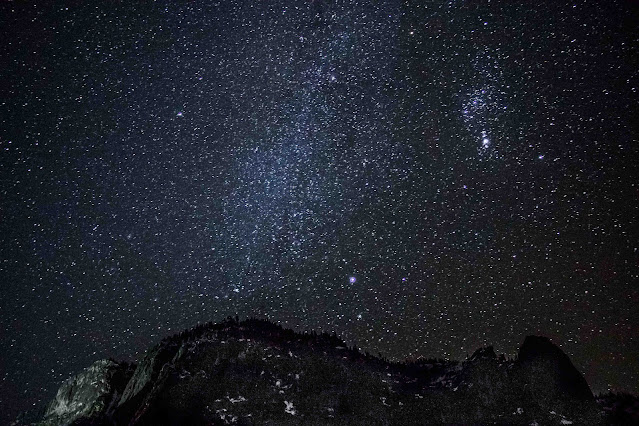
Although the day had been long and difficult (note to self: never again get gas in Vegas), the last hour from Hurricane to Fredonia was a treat. The road was very dark, and there was a huge thunderstorm to the southeast over the Kaibab Plateau, with a continuous display of lightning bolts.
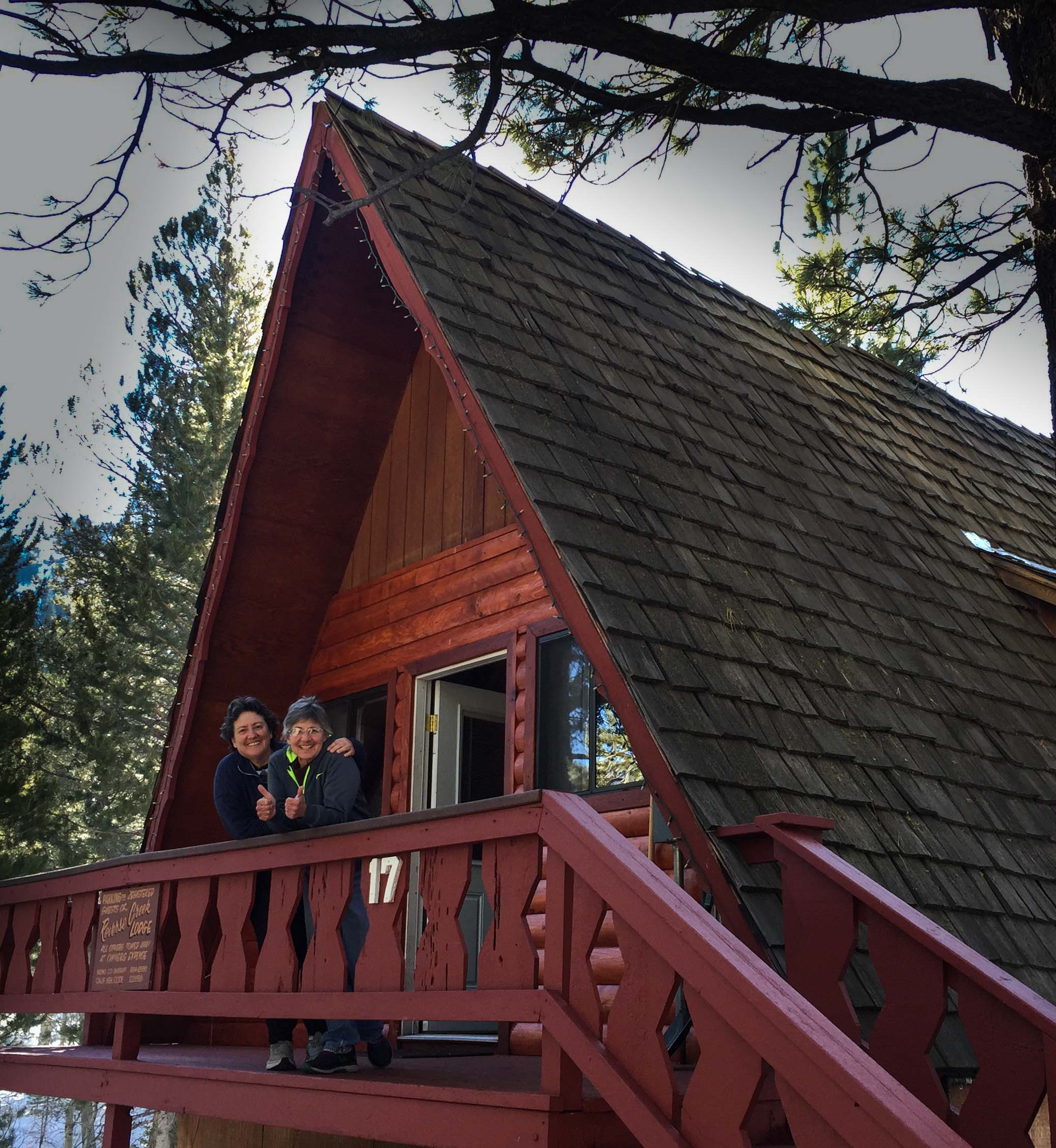
We stayed at Crystal Rose RV, a very modest but perfectly adequate stopover. (I am reminded of Winston Churchill, who said of a meek rival that "he is a modest man with a good deal to be modest about." He also said that the rival was "a sheep in sheep's clothing." Not relevant to the blog, but funny.)
Sept. 28: We briefly visited the Ranger station, just across the street from the RV park. Felice has been a devoted Smokey the Bear fan since she was a little girl, and she was delighted to find this big statute of Smokey in front of the station.
But it seems that Smokey was even more delighted to see her:
(By the way, that's our Smokey good-luck mascot in her hand -- he lives in our trailer and goes everywhere with us. Really.)
We left Fredonia and got to the North Rim well before noon, which gave us more time to scout boondocking sites. As we drove south from Jacob Lake, we were greeted by dark clouds and bright aspen:
(Fair warning: there will be a lots of photos of aspens. It was fun to see the colors change during the week, and the light kept changing, too, so lots of photos. Hope you like aspen as much as we do! And "aspen" can be both singular and plural, as befits a clonal organism.)
At home, I had mapped out several alternative campsites. We followed those waypoints on our iHikeGPS app, since the road network on the North Rim is particularly tangled.
After parking the trailer off the highway, we first looked at some sites northeast of DeMotte Campground. It was a pleasure to cruise along the back roads in four wheel drive without the trailer. Unfortunately, during our search I hit a big, deep pothole (full of water) at 15 mph (that's fast for us), and we later discovered that the rocky pothole had busted up the electrical socket on the back of the truck. (Spoiler: we were later able to patch it up with duct tape, but not without a bit of a struggle.)
We decided that the roads northeast of the campground were just too rough for the trailer, and so we concentrated on another area on the East Rim of the canyon. Our search was delayed a little because we were continually ambushed by aspen trees that needed photos. In this shot, note the "browse line," which shows how far deer can stretch upward in pursuit of tasty leaves (about six feet):
The forest roads were lined with color. Since this was early in the week, the trees were mostly green:
After surveying a number of sites, we chose one that was right on the rim at 8800 feet -- nice and cool, with lots of trees. This was a very good site but not great -- it was close to the road, which meant that we would see a passing vehicle once or twice an hour. The good news is that we did not have any close neighbors:
Although it was hazy when we arrived, we could tell that this campsite would have a great view on a clear day. The undulating formation in the middle of the next shot is the Cockscomb, a series of anticlines (I think) that had been sharply uplifted and then eroded:
Sept. 29: We headed south into the national park via Highway 67, stopping for aspen as needed:
As we approached the North Rim, there were whole hillsides covered in color:
Shortly after we got to the North Rim Visitors' Center, I tripped and fell in the parking lot (!!), skinning and bruising my knees and elbows and straining my hip. All of this took a couple of weeks to heal, but we did not consider giving up and going home.
Given my minor injuries, we took a very mild hike on the Bright Angel and Transept trails, which connect at the lodge on the North Rim. The Bright Angel trail provided a great view of the Transept canyon:
I'm not sure if this view is of Widforss Point or Oza Butte:
There was a small group of very tame deer on the Transept trail:
(There are four in that picture -- can you find all of them?)
On the way back to the trailer, we stopped for another aspen fix. It is surprising, but true, that colors often appear richer on cloudy days. I have done some research on this photographic phenomenon and have managed to become completely confused:
Sept. 30: We took the Widforss Trail, in the national park. There were stands of aspen scattered throughout the conifer forest:
As we were taking this shot, we could hear thunder growling in the distance:
It soon began to hail -- actually, this stuff was technically "graupel," small soft hail:
The trail wandered in and out of the forest, providing views into the Transept:
Note the rain in the center of the shot:
When we got back to the trailer in the late afternoon, the sky had cleared up:
You can see the eastern part of the inner Grand Canyon on the left side of the photo:
This is the view from inside the trailer, at the kitchen table. (We had positioned the trailer in order to take advantage of the view.)
October 1: We hopped onto our mountain bikes and rode down the dirt road toward the East Rim Viewpoint. The road was a little bumpy, but it was lined with brilliant aspen:
The East Rim Viewpoint was just a few miles from the campsite:
Navajo Mountain, over ten thousand feet high, was about a hundred miles away. It is just visible on the left side of the shot, and Marble Viewpoint is on the right:
The Arizona Trail passes through the East Rim Viewpoint. It's an 800 mile multi-use trail for both hikers and mountain bikers, traversing Arizona from north to south:
We rode the AZT for a few miles. Although the AZT is a famously difficult single-track trail, this particular part was fairly easy. The trail passed through some really old and big aspen:
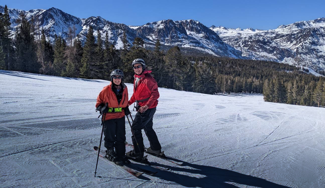
This next shot is a little misleading -- it was really too cold and windy to sit outside and enjoy our traditional "snacking circle" on the edge of the canyon. We took our photo and then retreated to the nice warm trailer for hot chocolate and snacks, followed by showers, dinner, and dessert. Not exactly "roughing it:"
Just for the record, the daytime high temperatures were in the low to mid 50s, and the nights were in the low 30s. Perfect sleeping weather, especially with our trusty down comforter.
October 2: We drove to the Cape Final trailhead, a long (but beautiful) drive from our campsite. The trail was easy and pleasant, with frequent views of the canyons to the north, east, and south:


That afternoon, we drove out to Cape Royal and Angels' Window. The "window" is that reddish triangular patch in the center of the shot, where a thin rock wall has eroded:
There were several viewpoints along the road north of Cape Royal -- this is "Vista Encantada:"
We brake for aspen:
And views:
Felice couldn't resist picking up colorful fallen leaves on our various excursions. She put together a collage, arranged on top of her black knit cap:
October 3: We put the bikes onto the rack and drove over to the Marble Viewpoint area, hoping for a nice easy cruise through aspen-lined forest roads:
Nope: the road surface was too rough for riding -- big, chunky, loose rocks, instead of a more civilized gravel. So instead, we drove out to the viewpoint and realized that we could see our trailer perched on the rim of the canyon, a few miles to the north:
(You'll have to take it on faith that the trailer was visible -- the camera could not capture it. But we had to document the sighting.)
Note the downward bend in the strata at the edge of the Kaibab Plateau:
We left Marble Viewpoint and picked up another section of the Arizona Trail, this time as hikers, rather than bikers:
The late afternoon autumn sun was filtered through the trees, providing us with classic "golden hour" photography:
We soon came to the North Rim fire lookout tower, just inside the boundary of the national park:
The tower dates from 1936:
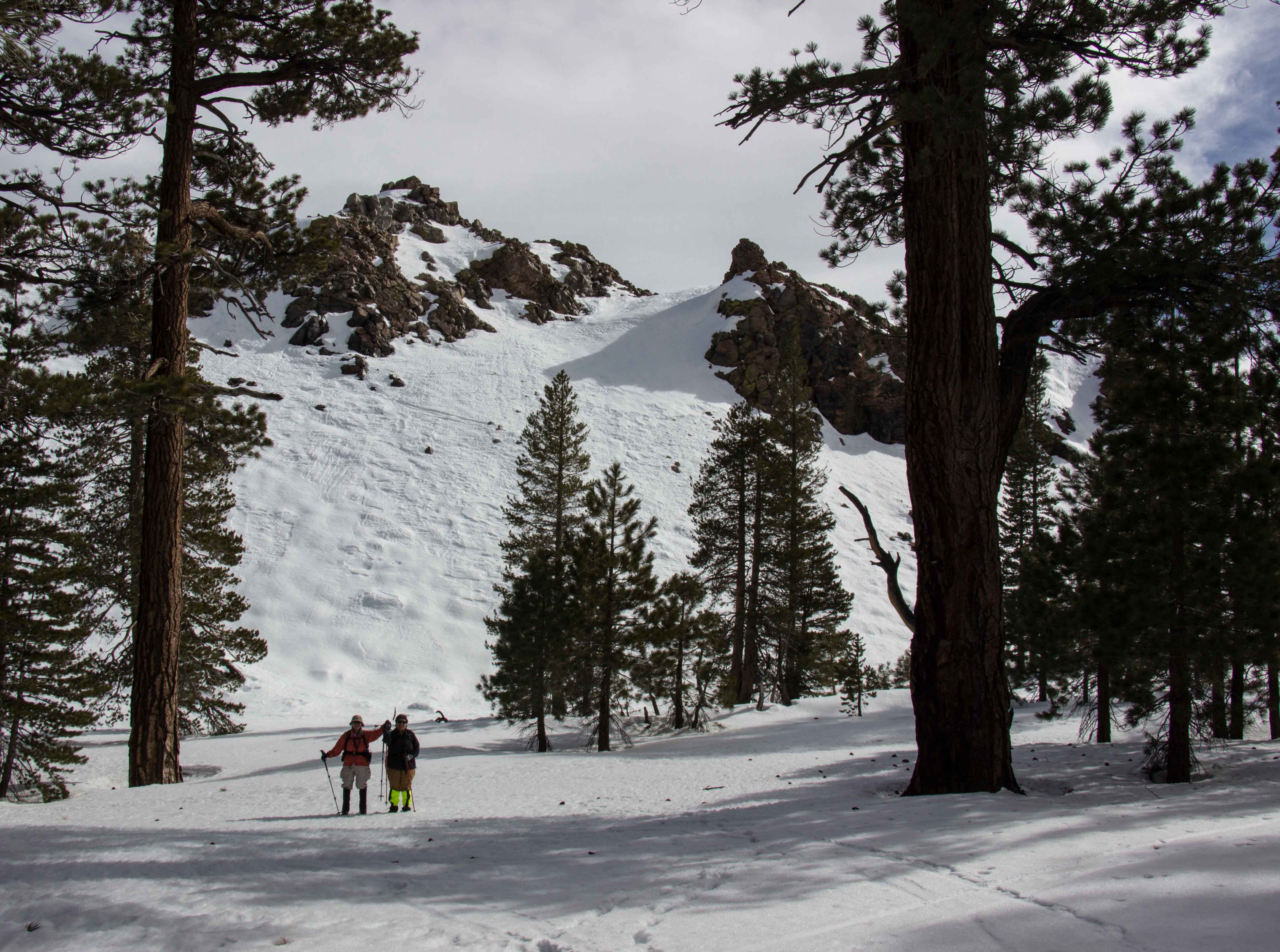
Incredibly, the tower stairs were not locked (and there were no "no trespassing" signs), so we slowly and carefully climbed all the way up. Arranging this "boot shot" was not easy -- the landings were very small:
But the climb was worth the effort -- we were able to look down on the backlit forest:
The AZT wandered through broad meadows:
As we drove back to the trailer, the late afternoon colors became more and more intense:
We stopped once again at the East Rim Viewpoint. We could easily see Marble Viewpoint to our south. Navajo Mountain, on the far left, was very clear:
October 4: Time to pack up. We had to get a shot of our little tent, "Baby Bea," which holds our extra equipment:
One last aspen shot -- the colors had become much more vivid during the week:
When we got down to Highway 67, we discovered that the spring clip for the sway bar was missing. (I later found it in the truck bed.). No problem for Ms. MacGyver -- she spotted a stout stainless steel ring on my backpack, which fit the bill perfectly.
We then had a fun few minutes with a roll of duct tape, securing the trailer's electrical plug to the damaged socket on the truck. We headed off to Hurricane and stopped at the Walmart to get more"fusion tape," which is like duct tape on steroids.
Back on the road -- heading down Interstate 15 in the dark, on a downhill curve in the Virgin River Gorge area. Blam! The passenger-side tire on the trailer blew out. Fortunately, there was an adequate shoulder, and we pulled to the right and stopped safely. The trailer was tilted far to the right.
There was barely any cell coverage, and our insurance carriers were not at all helpful. So we called 911. An Arizona trooper soon arrived. He called a tow truck, which also arrived quickly. The driver jacked up the trailer and changed the tire, and we were on our way.
Both the trooper and the tow driver agreed that the blowout was probably caused by a road hazard, like a sharp piece of metal. The tires were not old, had plenty of tread, and were fully inflated. Also, these were Goodyear Endurance tires, Load Range D, which is a much beefier tire than our little trailer requires.
The blowout damaged our Torklift steps (which Torklift replaced!). And we were left with a nice souvenir:
We stayed overnight at an RV park in Beaver Dam, Arizona. Thankfully, the rest of the trip home was uneventful.